(CONTINUATION)
The three cavalry regiments of the brigade had a total of 27 officers, 228 N.C.O.s and 1,740 soldiers mounted on German horses. All those who could, carried sub-machine guns –either the MP-38 or MP-40- instead of the 7.92 mm K98 carbines. They were supported by 30 heavy machine guns (MG-34 on tripods) and 72 light machine guns (MG-34 with bipods). Their heavy support fire was provided by a battery of 6 light howitzers of 75 mm for each of three hippomobile regiments. As external support they would have artillery fire, either centralized or from the divisions placed in its flanks, for the attached observers and officers were accompanying it.
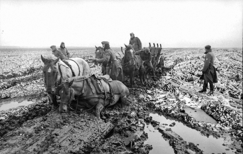 Country wagons moving forward in a huge Russian plain…
They were also supported by an engineers company (pioneers) and a sanitary company. By means of a park of Russian country wagons, each dragged by a pair of native horses, the supplies, replacements, ammunitions, medical forces, etc. of the brigade would be carried to them. They also had a motorized supply column.
The nature, the structure of the brigade and its support were perfectly adapted to the mission and contributed to its simplicity. It even received the support of a tanks company (14 tanks) for the attack, when the reconnaissance saw the possibility for use it.
Another key aspect of the mission was intelligence, acting already before the conception of the operation. This provided the most complete knowledge of the enemy and operations zone. Intelligence was a combination of information acquired by all the units, that was continually updated. It allowed better definition of the mission, assignment of the means and units, and training preparation. It also allowed for more appropriate adjustments or changes in plans, etc.
Another indispensable factor in this extraordinary or heterodox operation was the training and trial of the mission. The brigade trained for 4 to 6 weeks before its activation, in areas similar to the future operations zone; this fulfilled the security factor.
The training with tanks was not done, because its employment was not foreseen. And one of the problems that arose during the operation was that communication between the cavalry and tanks was poor. In the thick wild forests the wireless radios did not work well and it was necessary to use the existing wire telephony. But these were not enough for adequate communications between all the small units.
A characteristic of the training in these special missions is that that it must be as complete as possible, in agreement to its peculiarities. And a full trial, including the total foreseen time, is always necessary. For example, to verify the resistance of certain equipments and not only its good functioning, as would happen in a partial or incomplete test.
The brigade and 5th panzer division were in their departure positions 10 days before the start of the march towards the contact. The Soviets were not capable of detecting the activation of this unit, so the security factor remained fulfilled.
Immediately, the brigade, with the help of the tanks troops, carried out an intense reconnaisance of the intermediate area and the enemy positions (advanced combat troops and the forward limit of the defense). It was deduced that the tanks’ support in the attack was possible (in a narrow sector), if a necessary adaptation was effected in the tracks accessing the area. This innovation would add an important shock capacity and heavy direct fire to the assault, especially in the irruption, in the struggle for enemy fighting positions and in the interior of the defense zone (artillery, units in disorder or in retreat, transport, supplies, etc.)
The factor surprise was going to be achieved by the tactical innovation and the unexpected action in «field of action» chosen for the attack. It is important to remember that the Soviets were prepared and fortified against an attack that they knew was coming. In addition, since the beginning of the war the Soviets had shown themselves to be masters of defense and in disguising positions. Still, the Germans hoped that a strong attack on an unexpected place would dislocate the enemy’s combat capacity and means of defense. The German plan allowed no practical reaction time to the enemy.
With this, the speed of action factor is obtained by the attacker. This allowed the Germans to overcome rapidly their principal vulnerability: the initial contact with the enemy in the decided «interface of action«, in which always can be produced unexpected setbacks in the face of potentially bigger forces, until the law of the action is imposed on the enemy.
As the mission begins, there is uncertainty or friction, due to the enormous number of individuals and units involved; mistakes, that are a function of the small failures that happen inevitably in all the human actions that comprise a mission; enemy action, until the fire supremacy and maneuver deprive him of initiative; opportunities, in the shape of favorable situations not foreseen by the Germans and which the commands of the small units must exploit in order to fulfill the mission.
To be able to act this way, the extraordinary or special troops must possess the commitment factor, which involves the acceptance and recognition of the entrusted mission, its important consequences and its real possibilities of success in these conditions.
A couple of days before the assault, the engineers were making progress through the forest boundaries with mechanical saws. They constructed a reinforced path and carpeted it with middle logs cut up “in situ” and arranged about a meter apart. This was to give sufficient firmness to a route up to the Soviet minefields which would support the tanks added to the hippomobile brigade in tactical subordination, which slowly initiated its advance a little later. The noise of the saws and the engines of the vehicles was drowned by the flight of reconnaisance planes at low level and sporadic harassment fire.
The joint assault began on July 2, 1942.
The hippomobile brigade had to cross 15 kilometers of forests and marshes to reach the Soviet positions. At its right was the 5th panzer division attacking, which acted as the normal force or mass of support for the assault. Its left flank was supported on this area of difficult ongoing, covered by weak infantry forces (about a company). Until, on the 3rd day, a German infantry division began its assault through this sector.
At 3 a.m. the tanks advanced close to the cavalry troops, taking advantage of the general artillery preparations. They were accompanied by engineers’ troops. The minefields were immediately detected and the engineers cleaned the area around the passing paths to extend its width. Suddenly, the forwards tanks and cavalry reached the limit of the Soviet position of defense in this decided «field of action» over them.
 Model saves the day for the 9th German Army. Column of Soviet military prisioners.
In a single thrust they burst in, breaking the Soviets’ first lines of defense. After this, the tanks were kept in reserve, since the enemy position stretched through an unknown wooded area. That morning the cavalry managed to penetrate 6.5 kilometers inside the Soviet position.
The whole time the train of country wagons was capable of advancing supplies, replacements and munitions to the tired men.
For its part, the 5th panzer division could not advance despite its superior capacity of shock and means, and suffered heavy losses by very well camouflaged Soviet forces in depth.
Around midday, a hippomobile regiment turned to attack the principal enemy positions from the east. To reach them, it had to cross a swampy forests zone where the water was knee-high. At dusk, the brigade had control of a sector of the principal road inside the Soviet position, breaking the Soviets’ tactical cohesion and turned it untenable.
Just after midnight on the 4th, Soviet resistance was collapsing in the area of assault of the 5th panzer division and hippomobile brigade. This crossed another swampy forest area of 10 kilometers depth and emerged at the operational enemy rear. Here was a scene of chaos filled with abandoned vehicles and stroked columns and groups of troops and soldiers. Arrival of the panzer forces accelerated the decline of the 39th Soviet infantry army as an organized and effective force.
That same day the whole sector of this army collapsed and the German infantry divisions of Walter Model’s 9th army converged on its interior by all its assault sectors.
In the 11 days that the operation lasted, the Germans captured 50,000 Soviet prisoners, and around 230 tanks and 760 artillery pieces.
 FIGHTING ON THE BRIDGE.
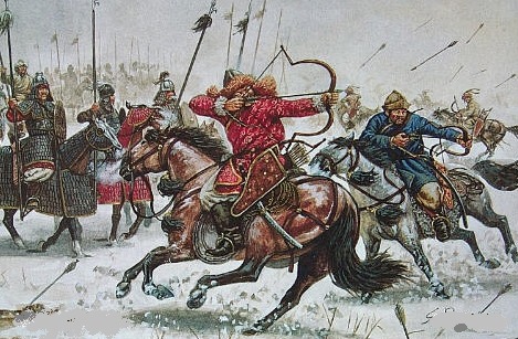 MONGOL’S LIGHT AND HEAVY CAVALRIES.

 BATTLE OF LIEGNITZ
 Soviet infantry tanks riders.
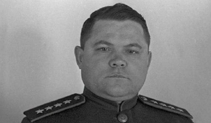 Lieutenant General Nikolai Vatutin, chief of the Southwest Front.
 Major General Vasily Badanov.
 Fieldmarshall Erich von Manstein.
 Karl Spang, as German general.
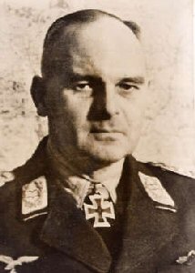 Lieutenant General Martin Fiebig
 T-70 Russian light tank.
 Colonel General Pavel Romistrov, commander of the 5º Tank Army of the Guard.
 Telegram of condolence of the General Assistant of the Secretary of the War to the family of one of the «missing persons» of the «Task Force Baum».
  Recent Marshal von Paulus surrenders his Staff in Stalingrad.
 Colonel General of the Luftwaffe Wolfram von Richthofen.
 The Marshal of the USSR Aleksander Vasilievsky.
 THE OPERATIONAL DEVELOPMENT.
 ITS RESULT…
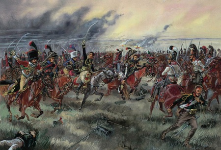 CREATED THE CONDITIONS FOR THE MILITARY DECISION: AUSTERLITZ.
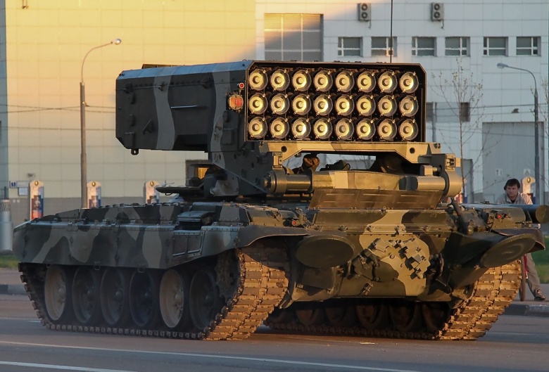 RUSSIAN REACTIVE ARTILLERY IN SYRIA
 GOVERNMENT CARPET BOMBING IN SYRIA.
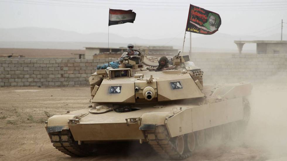 IRAQI TANK WITH SHIA BANNER…
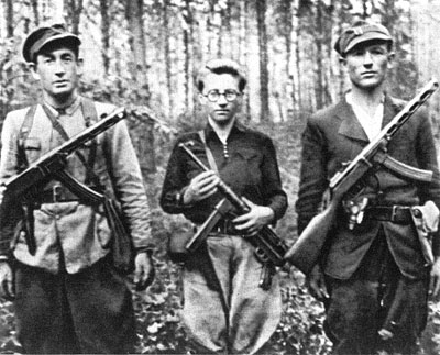 RUSSIAN PARTISANS.
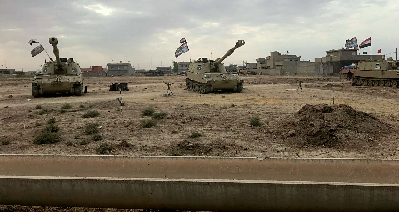 IRAQI SHIA MECHANIZED ARTILLERY AGAINST ISIS
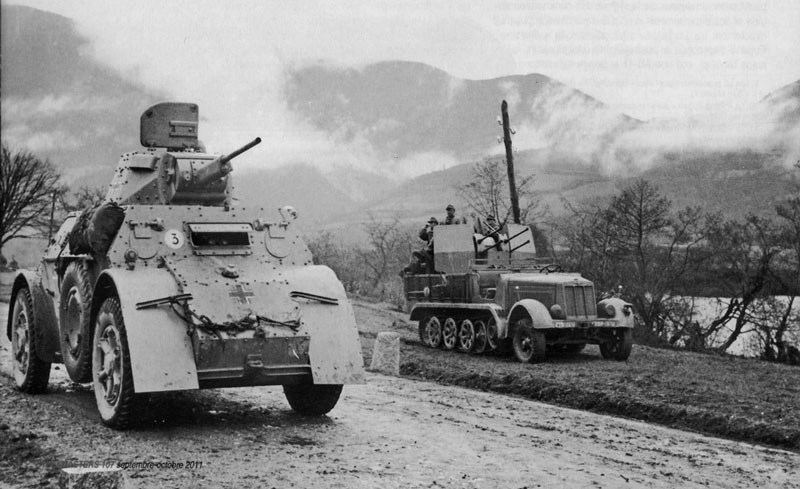 LIGHT ARMORED VEHICLES GIVING SUPPORT TO AN ANTIPARTISAN OPERATION IN RUSSIA.
 COLONEL JOHN BOYD, AN AMERICAN TEORIST OF ITS MANEUVER THEORY.
  WILLIAM LIND, A CIVIL TEORIST.
 GENERAL DONN STARRY, HIGH COMMAND OF THE U.S. ARMY’S TRADOC.
 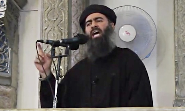 ABU BAKER AL-BAGDADI.
 AN EXECUTION IN PALMIRA.
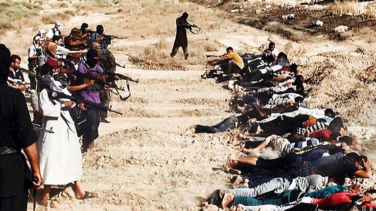 EXECUTIONS OF ENEMIES OF THE DAESH
 THEY LOVE TOYOTAS, WHOSE PAY IT?


 JUST TAKING A REST…