Marshal Montgomery once attributed operational or tactical victory to the appropriate and favorable combination of «transportation, administration, and geography.» This comment may be highly debatable out of context: «Monty» commanded a group of armies. But it clearly defines the problems that «managerial command» faces in managing its multiple military and logistical resources to achieve its strategic and campaign objectives. Once the political and national strategic decision to wage war and how to conduct it has been made, the problems of its execution are intensely influenced by geography.
Introduction.
And the main strategic decision-making issue is then where and how to commit the available forces and resources. Therefore, we will be interested here in the combinations of tactics and terrain in the different forms of warfare and in the varied geographical conditions of the environment.

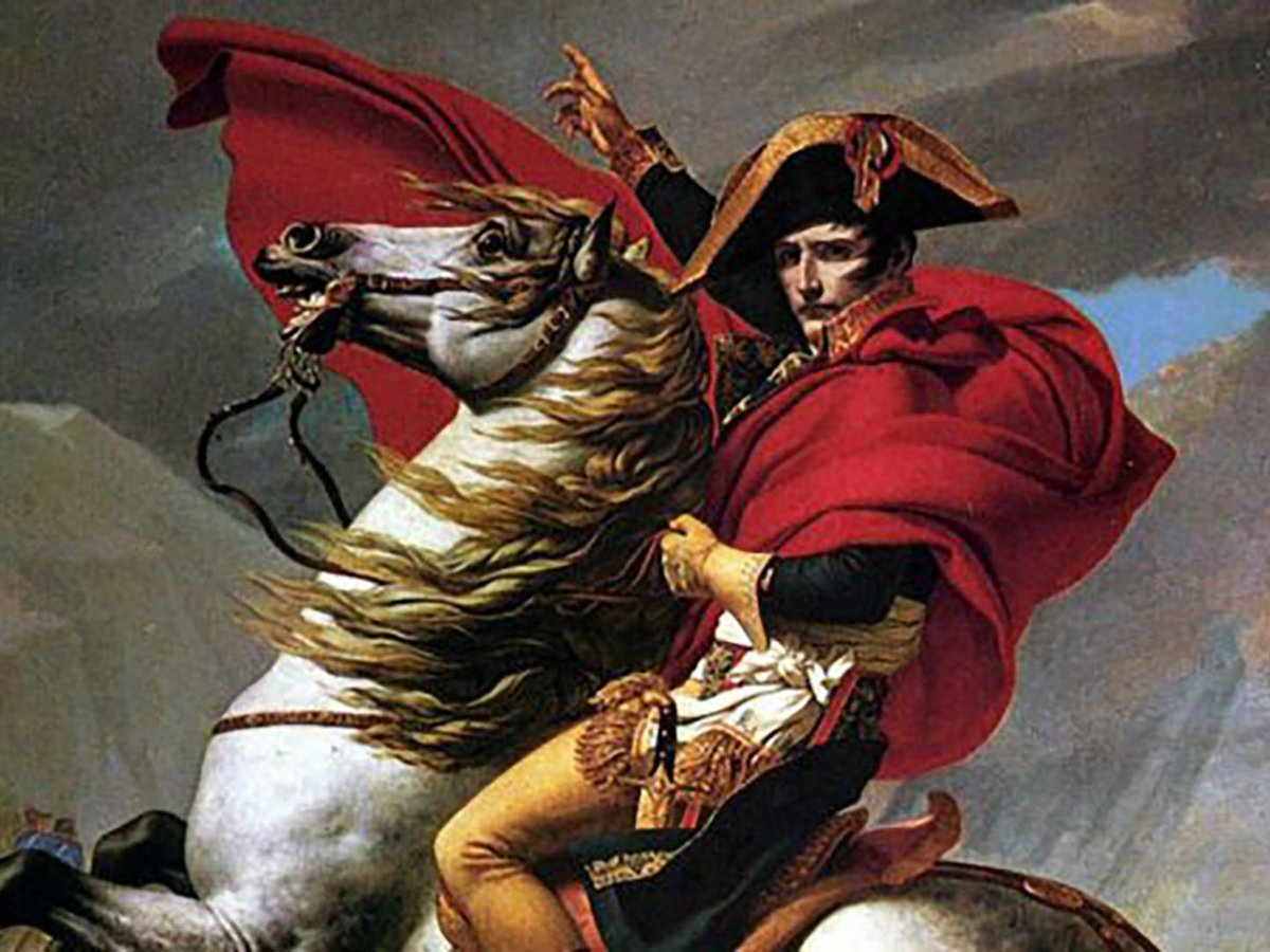
The military geographic map is one of the most powerful instruments for intelligence, decision-making, and command. From the Military Staff to the company headquarters, maps are a means of gathering, storing, and displaying tactical and logistical information, calculating one’s own and enemy movements, and knowing the directions of the opposing forces’ actions. Emil Ludwig wrote of Napoleon: «Whether during long halts or during marches, the map was always within his reach, in his tent or in his wagon, in camp or by the fire. Throughout his life, the map was with him. Filled with colored pins, framed by a pair of sturdy compasses, and illuminated at night by 20 or 30 candles. This was the altar of his prayers. And this was the true home of the man who had no home.» This literary, illustrative, and brilliant picture is refined and become definited today in the «general situation» and «enemy situation» maps of the G-1 and G-2 sections of the Military Staff and general staffs.
Each command’s need for terrain knowledge depends on the scope of its decision in space and time. Above the division level, the concern and interest lie in the lines of communication in the areas of activity. These commands do not fight tactically, but rather direct and move units and large units to and from the large area of operations. Their response time ranges from hours to days or weeks. This is due to the time required to move divisions, corps, and armies to their operational destinations and to reach combat readiness. This is also due to the time required to approach and position sufficient re-equipment, supply, and short-range transport resources.
Tactical decisions at the division level and below require more detailed, up-to-date, and timely geographic information. These can impact the rapid evolution of the operation or combat in a matter of minutes or even seconds (medium and heavy direct fires). Maps here must be punctuated and enriched with important tactical details. It is necessary to know: the firing sectors, grazing preferably, of the steady-fire weapons; the facility with which tracked vehicles can be deployed off roads with more or less stable surfaces; the possibilities for repelling and attacking on the operational terrain in all its forms; the natural and artificial waterways that intersect more or less perpendicularly the directions of advance of one’s own and another’s; the crossings (bridges of different widths and characteristics) and fords for practicing them, and the resistance of the approach terrain to them;; the possible landing zones for helicopters and the landmarks and unique characteristics of the terrain that delimit their approach and attack corridors; the possible observatories with long-range views for one’s own artillery and the areas for its concealed deployment and defilade from direct enemy fire; the possible routes of approach to the desired areas, hidden from view from enemy sides, and their dominant heights; the operational zones where we will create the anti-tank and engineer centers of gravity, and the equipment that the remaining units supported by them will need for their missions, depending on their terrain, etc. Who completes and enriches the physical maps of the appropriate scale with the necessary data and assessments to give them operational significance? Our own intelligence at its various levels of action. This is prepared by specific units, based on information received from reconnaissance and reconnaissance by battalions and companies tasked with this, aerial reconnaissance by satellites and manned and unmanned aircraft, and combat reconnaissance by all units.
The Relationship between Geography and Defense.
Many of the experiments involving extreme environmental conditions, that have sparked the curiosity and interest of scientists were initially undertaken for military purposes. Thus, in many cases, war operations allowed us to discover and understand various natural phenomena, which have led us to better understand the world in which we live. In 1944, American bomber pilots attacking Japan discovered a strong air current (over 325 km/h) traveling at an altitude of approximately 900 meters and heading west, toward 40° north latitude.
The aircraft, primarily the B-29 Super Fortresses, assigned exclusively to the Pacific theater of war, and their escort fighters, used this current to return to their continental bases in China, using much less fuel on their entire route. This allowed for increased bomb payloads and flight ranges. We should point out that the costly efforts to capture Iwo Jima (two films have recently been made on the subject, from the perspectives of both enemies) were due to the operational need for an airbase closer to metropolitan Japan, which would assist the strategic bombers in flight. These used too much fuel overcoming the frontal winds they faced on their westerly journey. Thus, what was called the «jet stream» represented an important step in our understanding of upper-atmospheric circulation.
The development of strategic intercontinental ballistic rockets since the 1960s, which could travel over the world’s seas and lands, led to the need to determine their best routes. These follow large semicircles around the planet, which can then be defined as an isotropic (not perfect, the poor thing) spheroid. Then, so-called «cruise» rockets were designed. These freely follow variable trajectories over the Earth’s surface, skirting its protrusions at very low altitudes to avoid detection (radars, satellites, observers) of any kind. Programming them required a thorough understanding of universal cartography. All of this led the US Department of Defense to become, for a few years, one of the main employers of Western cartographers.

During the 1930s, R. A. Bagnold, a Cambridge geographer, along with other colleagues and collaborators, traveled through the Libyan Desert. There, they explored and studied different varieties of typical terrain, formed by shifting sand dunes or altered by winds and sand curtains. They even designed a so-called solar compass. This knowledge proved essential when, at the beginning of World War II, Bagnold helped create and advised the Long Range Desert Group. This was a British motorized «task force» intended to carry out raids deep into the enemy desert, where they penetrated by land.
It consisted of semi-autonomous commandos, mounted in jeep-type all-terrain vehicles and Ford or Chevrolet light trucks, well-equipped with medium-range weapons and lightly armored, which could be promptly refueled by RAF aircraft. Their combat tasks were to penetrate deep behind the weak German lines, erode their internal communications, and destroy their vehicles and aircraft on the ground. The desert «commandos» were integrated according to their specific mission—which could be combat, reconnaissance, or mixed—the enemy presence in force, and the expected distance they would travel to accomplish and return. Rommel, appointed Field Marshal after the capture of Tobruk, declared at the time: «The LRDG has caused us more damage than any other British unit of equal strength.»

Military Characteristics of Terrain.
«Corridors» are strips of terrain favorable to the movement of military forces and limited on either side by terrain that is difficult to transitability. The concept explains that it is a strip of favorable and protected terrain. The term «compartment» or «section» defines terrain that is more or less perpendicular to the desired directions of movement of forces and unfavorable to them. Thus, the same qualities can form either cross-sections of terrain or corridors, depending on the intended direction of operations. Although both types tend to be described in terms of terrain and/or its drainage characteristics (swamps, wetlands, marshes), the case of strips of dense vegetation or wooded areas can imply the same phenomena on troop mobility. In 1941, the German advance towards Moscow (Brest, Minsk, Smolensk, Vyazma, and Moscow lines), crossing the Great North European Plain during Operation Barbarossa, successively discovered compartments or cross-sections formed by lines of wild forests. The forested areas in Belarus and that western part of Russia are arranged in bands oriented north-south, following the course of rivers and in poorly drained areas. Between these forested belts lay vast areas of gently rolling, well-drained terrain, forming vast open agricultural lands. Army Group Center’s eastward advance meant rapid advances in these open areas, followed by slow and arduous crossings with mechanized and motorized vehicles through the wooded areas. Soviet forces relied on these defense-friendly areas to establish fronts to repel the enemy in successive operational echelons in depth. These had, in their case, the character of a rigid defense without giving up space. And the aforementioned cities took on the character of fortresses or large fortified centers of this at all costs defense.

In turn, the Pripet River swamps, whose extent varied greatly depending on annual rainfall and which lay between the advance strips of the German Army Groups Center and South in the aforementioned initial invasion operation, formed a protected «wooded corridor» for Soviet cavalry units in the desirable «east-west direction» and in both directions of march. It was an area of extremely difficult transit and great concealment possibilities, more than 200 km long and over 50 km wide, which the Germans did not know, explore, or occupy. Where they did not divert their increasingly limited resources due to the lengthening of their supply lines and the casualties suffered in marching and combat operations. Soviet cavalry regiments could thus move through them and emerge on the exposed flanks or rear of the marching groups and German advance or resupply columns, carrying out limited-objective attacks. Indeed, the distances to their initial bases of departure in Poland and the existence of a few vanguard motorized and mechanized forces with a huge «support mass» of infantry and horse-drawn forces, prolonged German operations and increased their inevitable needs and attrition.
(To be Continued)


 A RESOLUTE ENEMY IS STILL WAITING YOU OVER THERE…


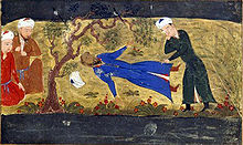
 The Statue of Sun Tzu in Enchoen, Yurihama, Japan.
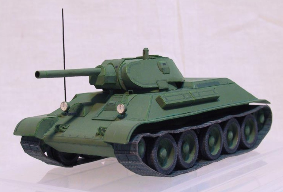
 A Panther from the 11th panzer division circa summer 1943
 FIGHTING ON THE BRIDGE.
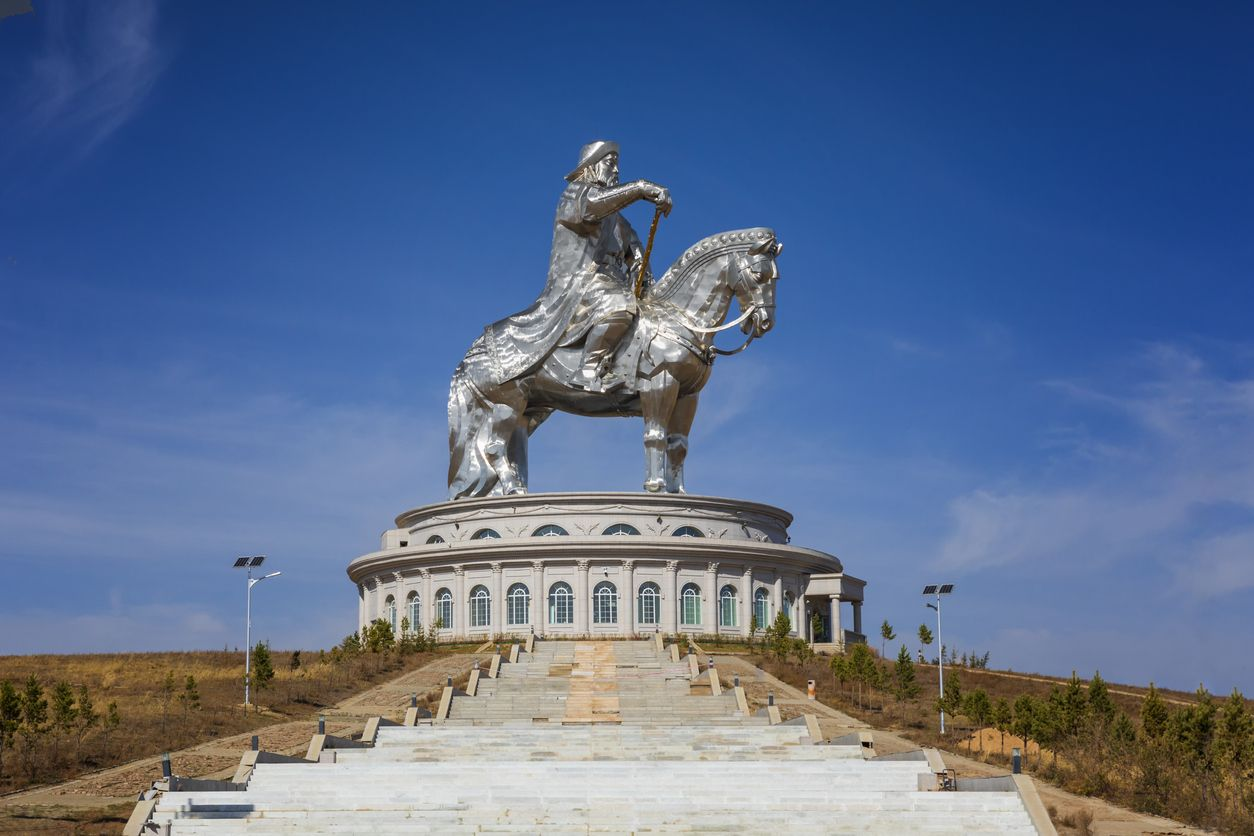
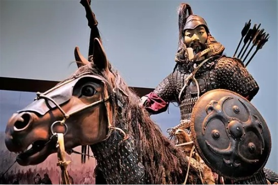
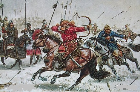 MONGOL’S LIGHT AND HEAVY CAVALRIES.
 NEW ZEALAND’S LONG RANGE RECON PATROL.
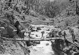
 A PATROL…
 COVERING A SECTOR…
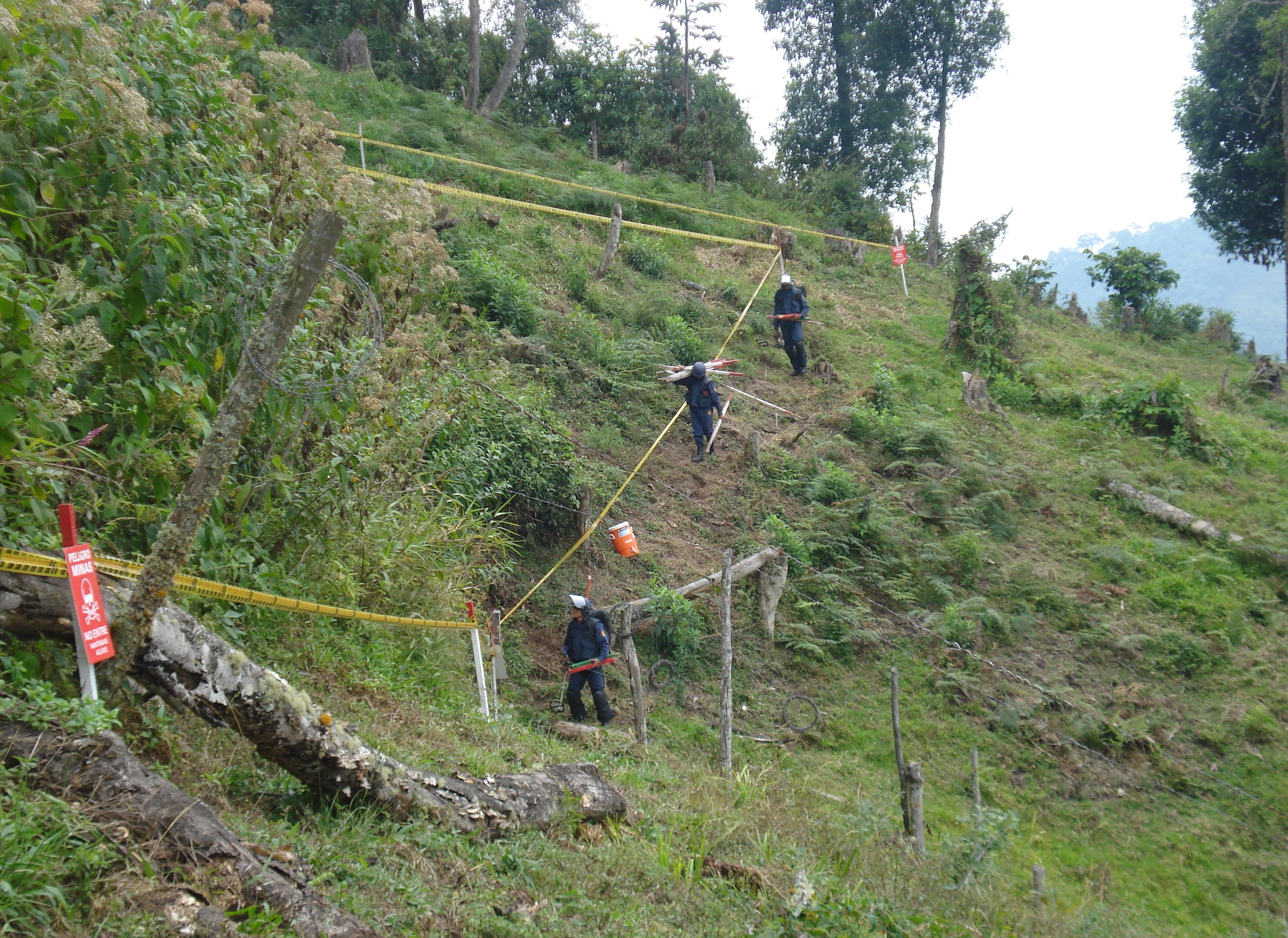 MINES BARRIER.
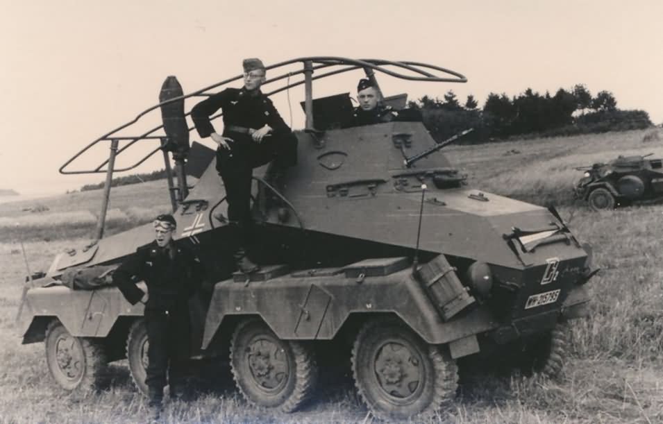 SDKFZ 263.
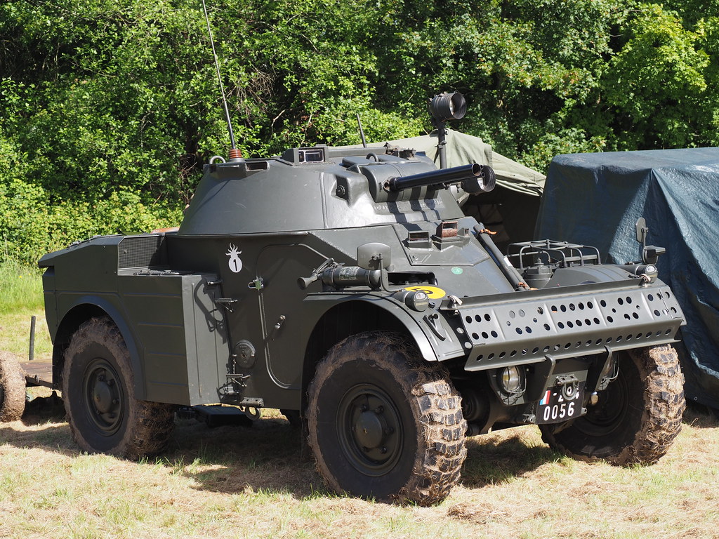 PANHARD AML 245.
 ENGESA EE-9 CASCAVEL.
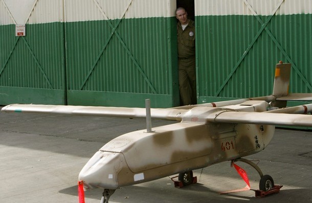 DRONE
DRONE 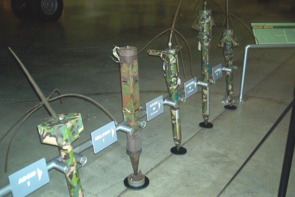 ADSID SENSORS .
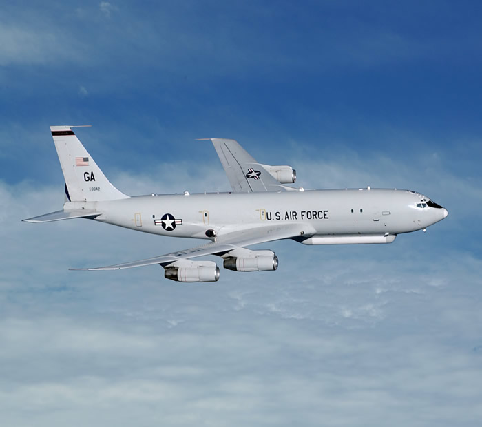 A BOEING OF THE JSTARS SYSTEM.
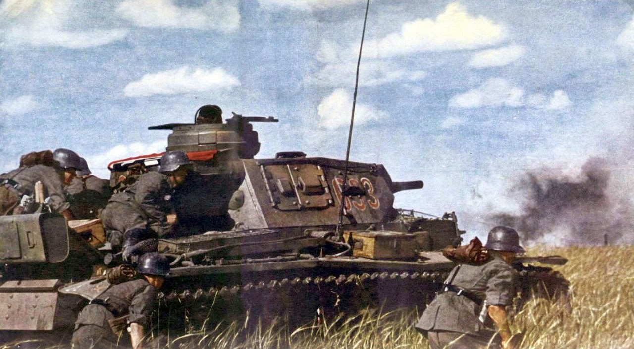

 THE SOVIET POLISH WAR OF 1920.
 SWEEPING THE RUSSIAN HORDES.